Airborne Real Time Ground Unit Support
Airborne Sensor Platform
- Acquisition of optical, thermal and near infrared images
- Positioning and inertial orientation measurements
- Optional on board data processing
- Versatile usage on various carrier platforms
Real Time Communication
- IP based communication
- Asymmetrical, bi-directional line of sight link (LoS) with a range up to 50km at 8Mbit/sec
- Broadband data link for any operational frequency band between 1,9 and 6 GHz
- Dynamic routing between LoS and satellite communication
Processing Tools
- Ortho-image generation and image mosaicking in near real time
- Interactive / automated data analysis and classification
- Automated generation of 3D surface models
- Near real time generation of thematic situational maps
- Post processing tools to generate optimized results for documentation purposes
Management Applications
- Planning and controlling of data acquisition flights
- Text based bi-directional communication
- Geo-oriented data visualisation and management
- Interactive image analysis and annotation
- Preparation of basic and situational maps
- Standardised interfaces
- Data distribution on demand
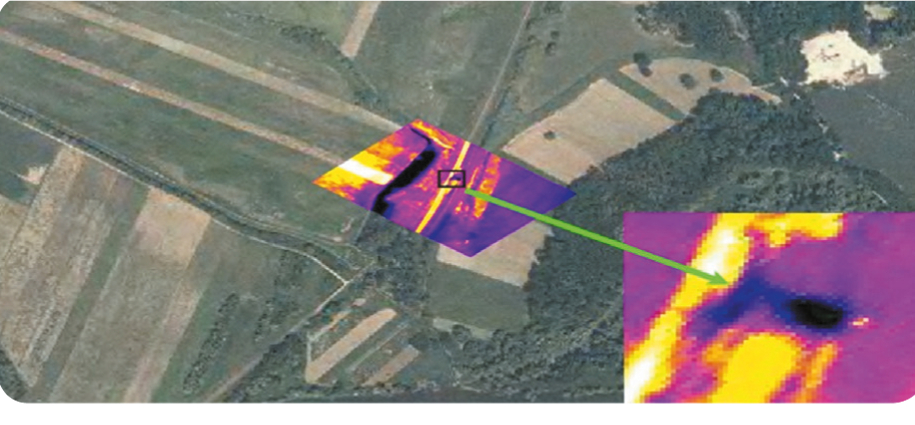
Monitoring
Thermal data to analyse ground moisture
Mission control
Near real time generation of situational maps
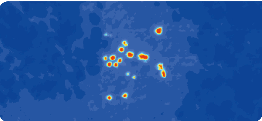
Detection
Hotspot analysis in forest fire scenarios
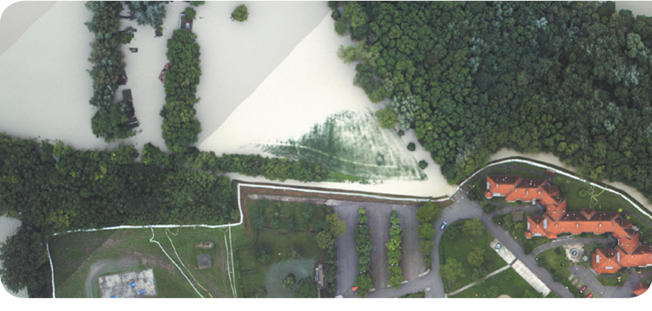
Documentation
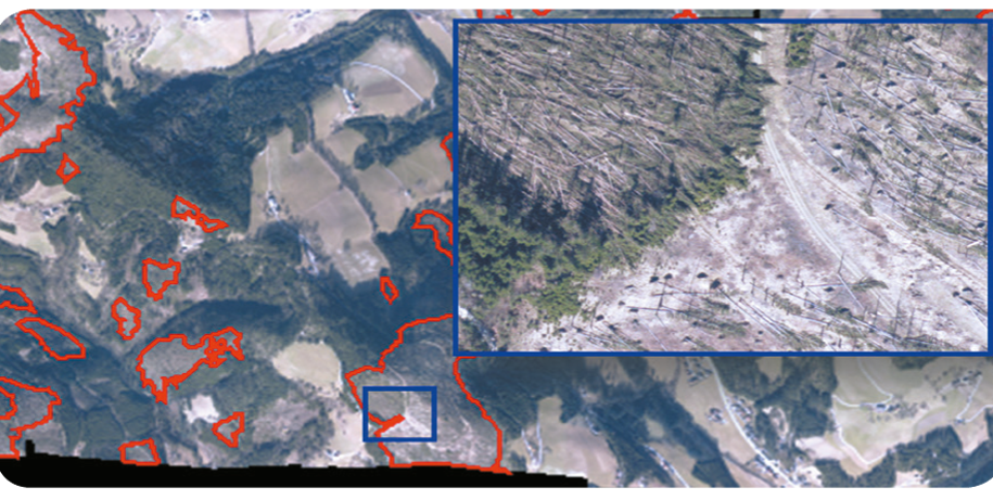
Large-area mapping of storm damages
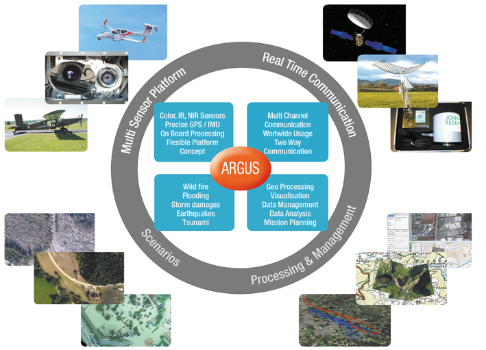
ARGUS is an airborne multi-functional management support system which was developed by JOANNEUM RESEARCH as part of a national funded KIRAS research project.
It enables real time assessment of natural disasters based on optical and thermal images as well as rapid mapping capabilities.
ARGUS follows the demand of emergency teams to react quickly when natural disasters like forest fires, flooding, earthquakes,landslides, etc. occur and can provide flexible and significant assistance for in-situ analysis as well as management activities.
ARGUS offers airborne image acquisition in near real time and the capability to receive the basis for an up-to-date operational picture of the whole situation in order to increase awareness.
Geo-referenced and high quality multi-sensor image data as well as proper analysis can be provided to dedicated target groups, such as civil protection agencies, fire brigades or national defense agencies acting in support missions, in order to guide and control task forces in an efficient way.