References
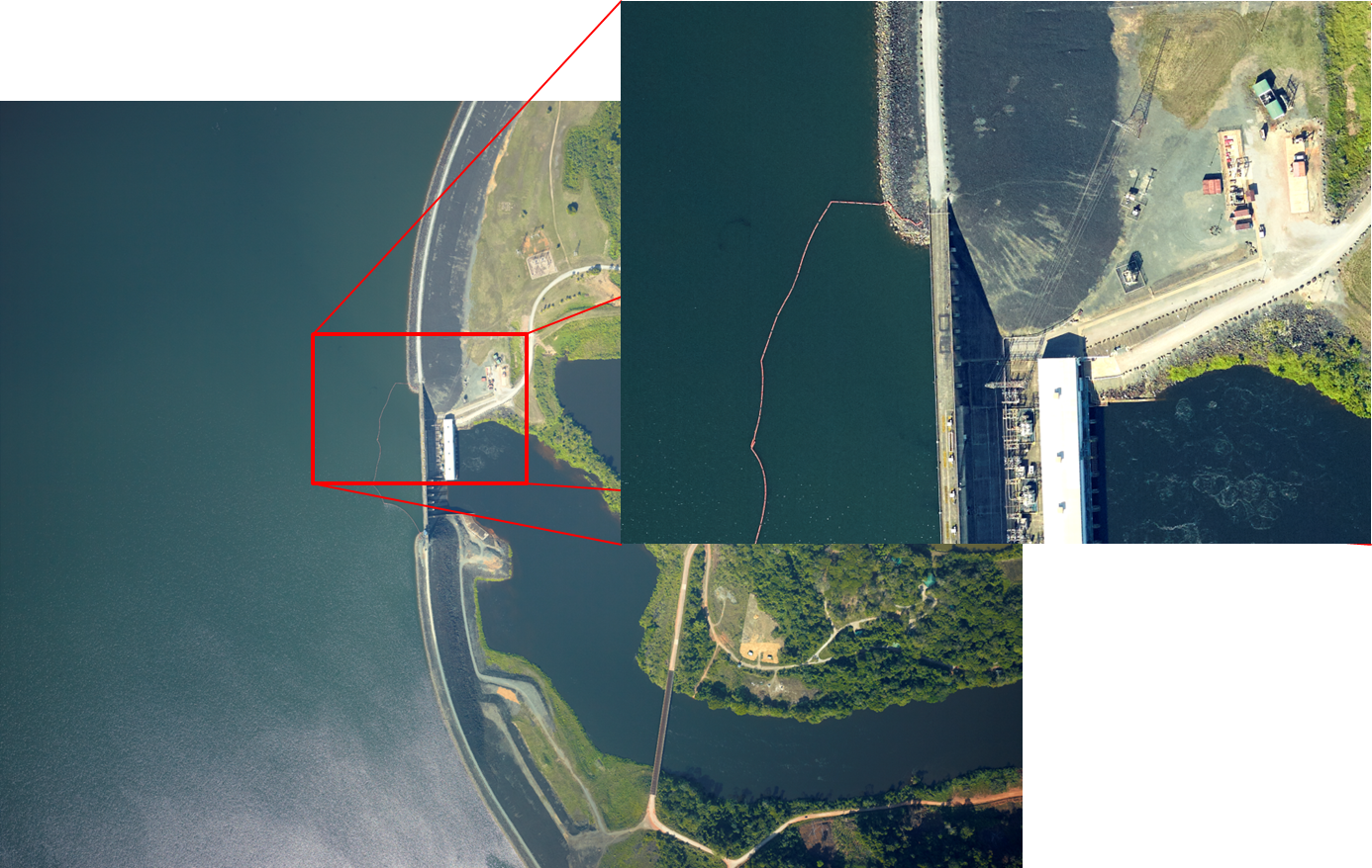
Brokopondo Lake
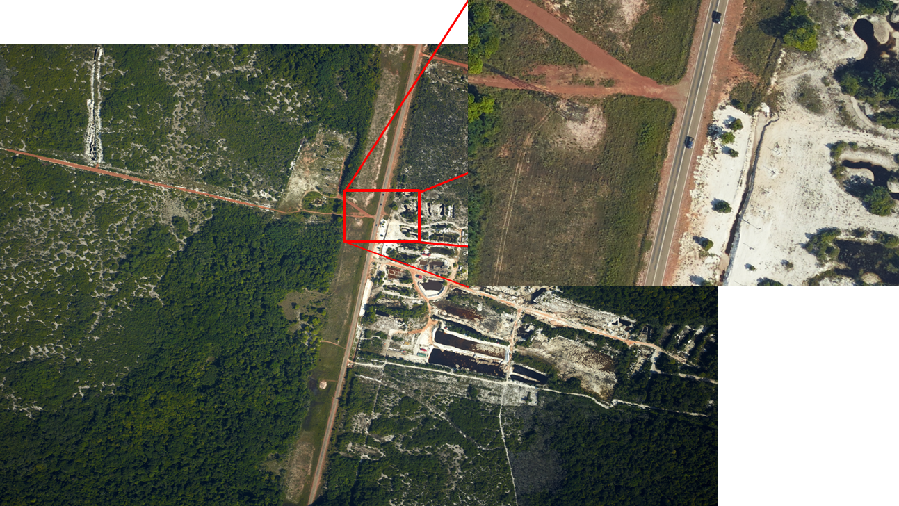
550km² of the Brokopondo lake have been mapped at 15cm resolution. 4200 aerial images have been taken in 30 flight strips and have been combined to a large image mosaic covering about one third of the Brokopondo lake. The high resolution CIR images allow to identify the "sunken trees" in the lake which have resisted 50 years of flooding and are harvested under concession by BWWI.


Corridor Mapping
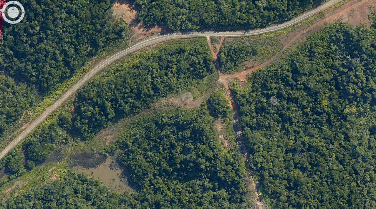
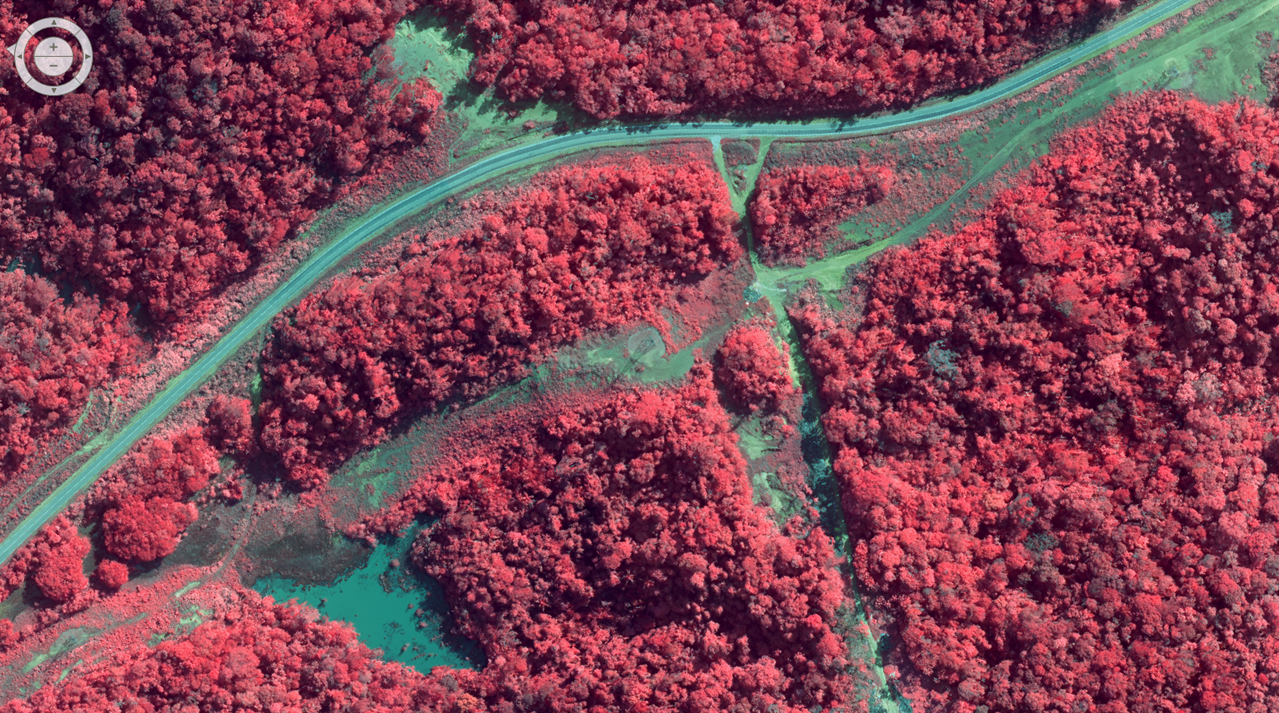
ADAM has been successfully used for high precision mapping of a 60km long corridor of 1km width in SURINAME (main road from capital Paramaribo to Brokopondo lake). RGB and NIR imagery has been captured at 20cm resolution and fused to high resolution CIR images.<br/> A digital terrain model (DTM) has been derived photogrammetrically from the stereo images which allowed for producing ortho images which have been combined to an image mosaic covering the complete corridor with a GSD of 20cm.
National Forest Inventory
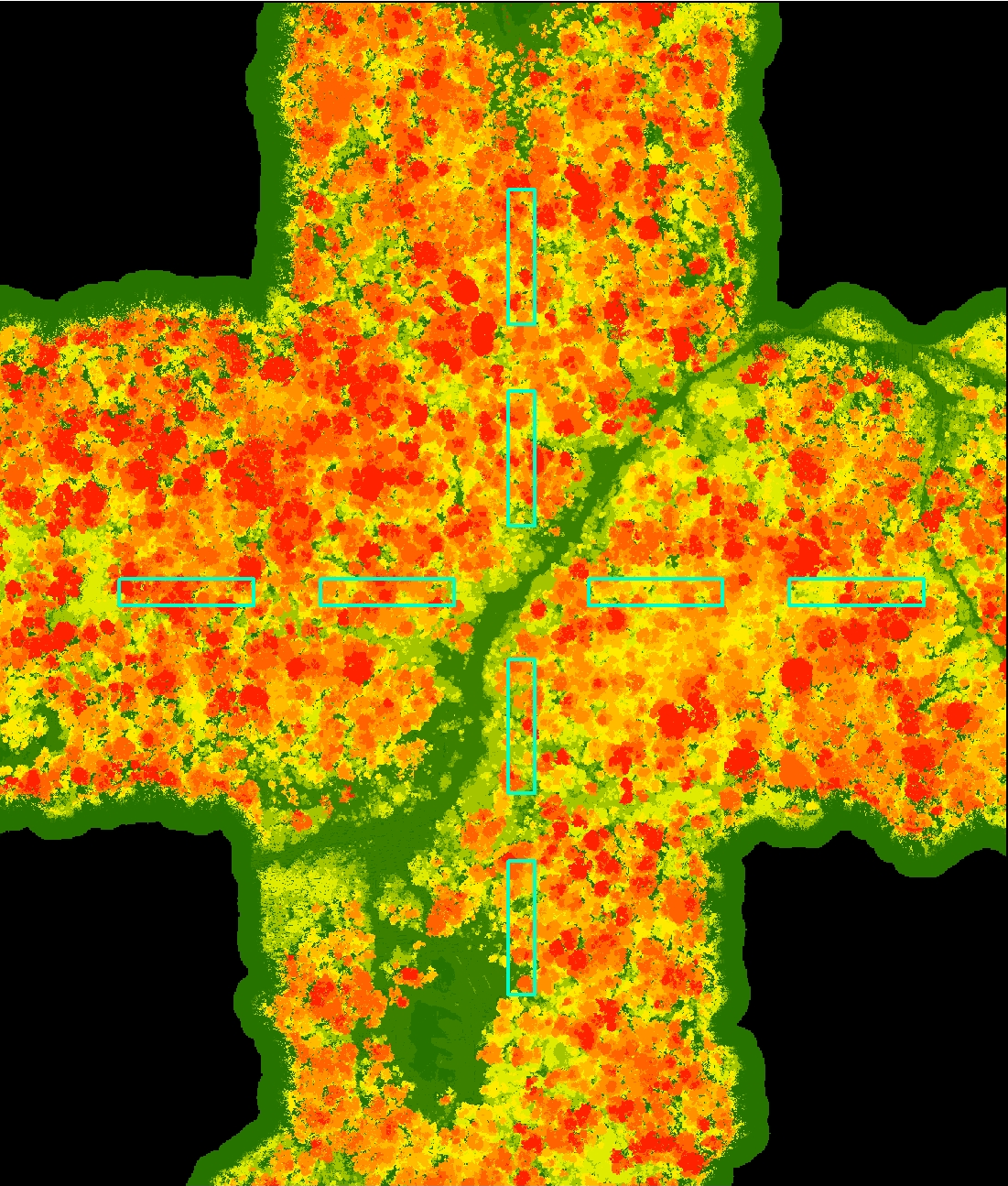
In order to establish an efficient National Forest Inventory (NFI) in Suriname, ADAM has been used to map remote areas of Suriname’s fast forest areas. Specifically, existing permanent field plots established for the NFI has been covered by LiDAR and high resolution CIR images. They were used to build a correlation between biomass measured on the ground and data generated by ADAM. This combination ultimately allows achieving the same accuracy in NFI results with reduced costs compared to a conventional NFI based on field plots only.